

UNDERGROUND RADAR MAPPING
WHAT IS GPR
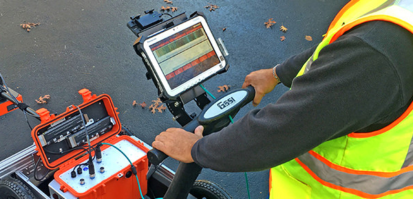
Ground penetrating radar (commonly called GPR) is a high resolution electromagnetic machine
The technique is designed primarily to investigate the shallow subsurface of the earth, building materials, roads and bridges


Basic Principle
- GPR uses the principle of scattering of electromagnetic waves
- The basic operating principle for GPR is the radiation of electromagnetic wave into the subsurface
- Radiation of electromagnetic waves from a transmitting antenna, the wave spread out and travel downward at a velocity until it hits an object & the scattering from the object is detected by a receiving antenna
- The specific travel velocity of electromagnetic waves is determined primarily by the permittivity of the material
- Different velocity for different between materials with different electrical properties
- A signal passed through two materials with different electrical properties over the same distance arrive at different times
Ground Penetrating Radar
- Valuable tool for locating
- metallic and non-metallic utilities ( Conductive & Non Conductive)
- Buried Elements For example Cables-Power, Fiber- Pipes- structures
- Voids in Concrete
- Voids in Roads
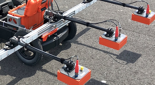
- Different frequencies antenna are used for different depths.
- Uses short impulse of high frequency radio waves. Energy radiated into the ground is reflected back to the antenna by features having different electrical properties.
Low frequencies give better penetration. - Depth of penetration may be limited to only a few feet in wet, clayey soils.
Depth of Penetration in GPR Survey
| Depth Range (approximate) |
Antenna Frequency | Appropriate Application |
|---|---|---|
| 0-1 m | 900 MHz | Utilities |
| 0-4 m | 400 MHz | Utilities and Archaeology |
| 0-7 m | 270 MHz | Shallow Geology, Deep Utilities, Archaeology, etc. |
| 0-22 m | 100 MHz | Geologic Profiling |
| 0-25m | 100 MHz(Pair) | Geologic Profiling |


